He is recognised as one of the world's foremost authorities on the Great Barrier Reef and is presently Chairman and CEO of the Corals of the World Foundation.
He has worked throughout the world including the Great Barrier Reef, Kimberley Coast, Ningaloo Reef and Shark Bay, Rowley Shoals, inland Australia, PNG, Hawaii, Line Islands, French Polynesia, New Caledonia, Wallis and Futuna, Niue, Cook Islands, Tonga, Samoa, Easter Is, Pitcairns, Fiji, the Red Sea, Indonesia, Mediterranean, Caribbean, The South China Sea, Vietnam, Hong Kong, Philippines, Thailand, India, Sri Lanka, and the Middle East.
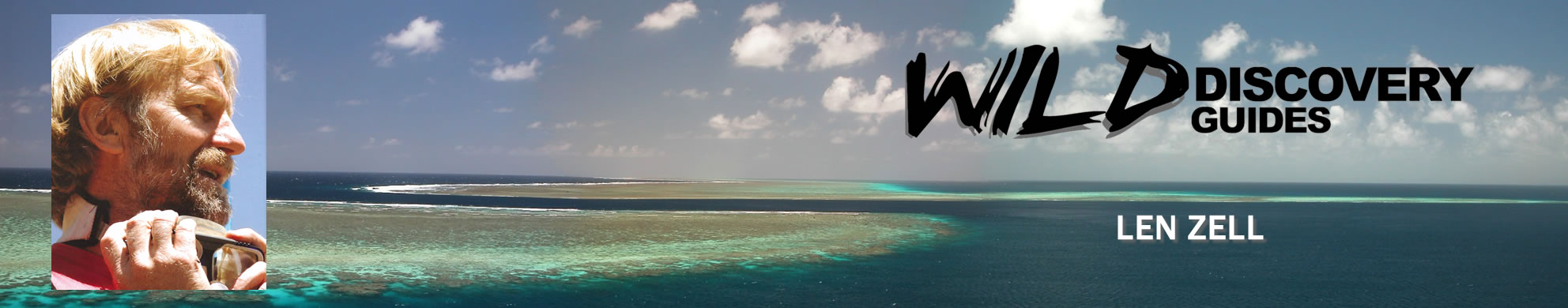
Len was the founder and owner of "Wild Discovery Guides"
More details click: